GeoJSON
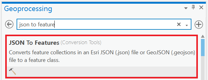
Choose GeoJSON format if you want to download a list of features with the geometry and display them on a map. To open in ArcGIS Pro, use the tool JSON to Feature to convert the file.

CSV
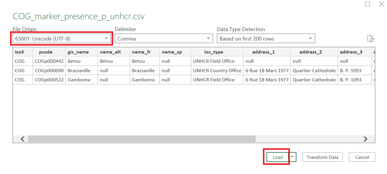
Choose CSV format if you want to download a list of features as tabular data. Select with coordinates or centroids if you want the coordinates in the file. When opening in Excel, make sure to select UTF-8 encoding to manage special characters like accents or non-latin scripts :
1.

2.
